The Karakoram Highway: 1,300km from Islamabad to Khunjerab Pass
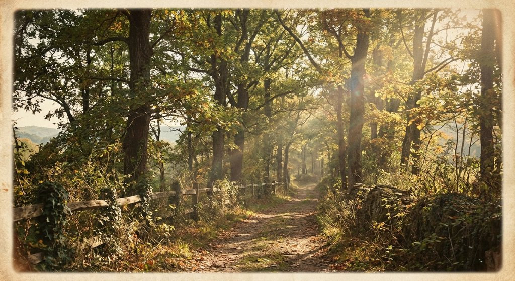
Driving the eighth wonder of the world: jagged 7,000m peaks of Hunza Valley, crossing the Attabad Lake tunnels, and reaching the 4,693m Pakistan-China frontier.
Expedition Logistics & Quick Facts
| Distance | 1,300 km (N-35 Highway) |
|---|---|
| Highest Point | Khunjerab Pass (4,693m) |
| Best Season | May - October |
| Highlight | Passu Cones & Hunza Valley |
From the Indus River Canyons to Gilgit
Departing Islamabad, the asphalt climbs past Abbottabad into Kohistan, where the churning brown waters of the Indus River cut deep gorges through the junction of the Himalayas, Karakoram, and Hindu Kush ranges. Stop in Gilgit to register at foreign tourist checkpoints.
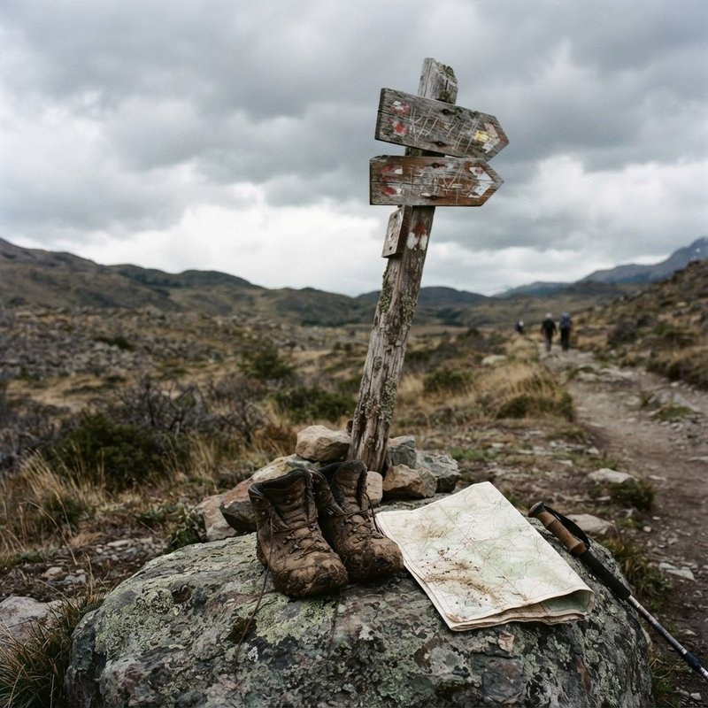
Hunza Valley: Under the Shadow of Rakaposhi
Enter the mythical Hunza valley at Karimabad. Towering over the terraced apricot orchards is the vertical snow wall of Rakaposhi (7,788m) and Ultar Sar. Climb to the 800-year-old Baltit Fort, perched on sheer cliff edges overlooking the valley floor.
Passu Cones & Reaching Khunjerab at 4,693m
Cross the turquoise waters of Attabad Lake through five modern tunnels to reach Passu, famous for its serrated cathedral spires. The final ascent winds through Khunjerab National Park, home to Himalayan ibex and snow leopards, ending at the highest paved international border crossing on earth.
Field Advice from Leo Sterling
Always keep at least $300 in pristine, uncreased US Dollar banknotes (printed post-2013) stored in a waterproof pouch separate from your daily wallet. Across remote border posts in this region, ATMs can be offline for days, and crisp cash is the universal currency of transit.
Written by Leo Sterling
Independent overland explorer and documentary travel writer specializing in the Silk Road, Central Asia, and unmapped frontiers. All route logistics are field-verified.